Take Care Tahoe’s Adopt-A-Hydrant campaign promotes fire safety during major snowstorms
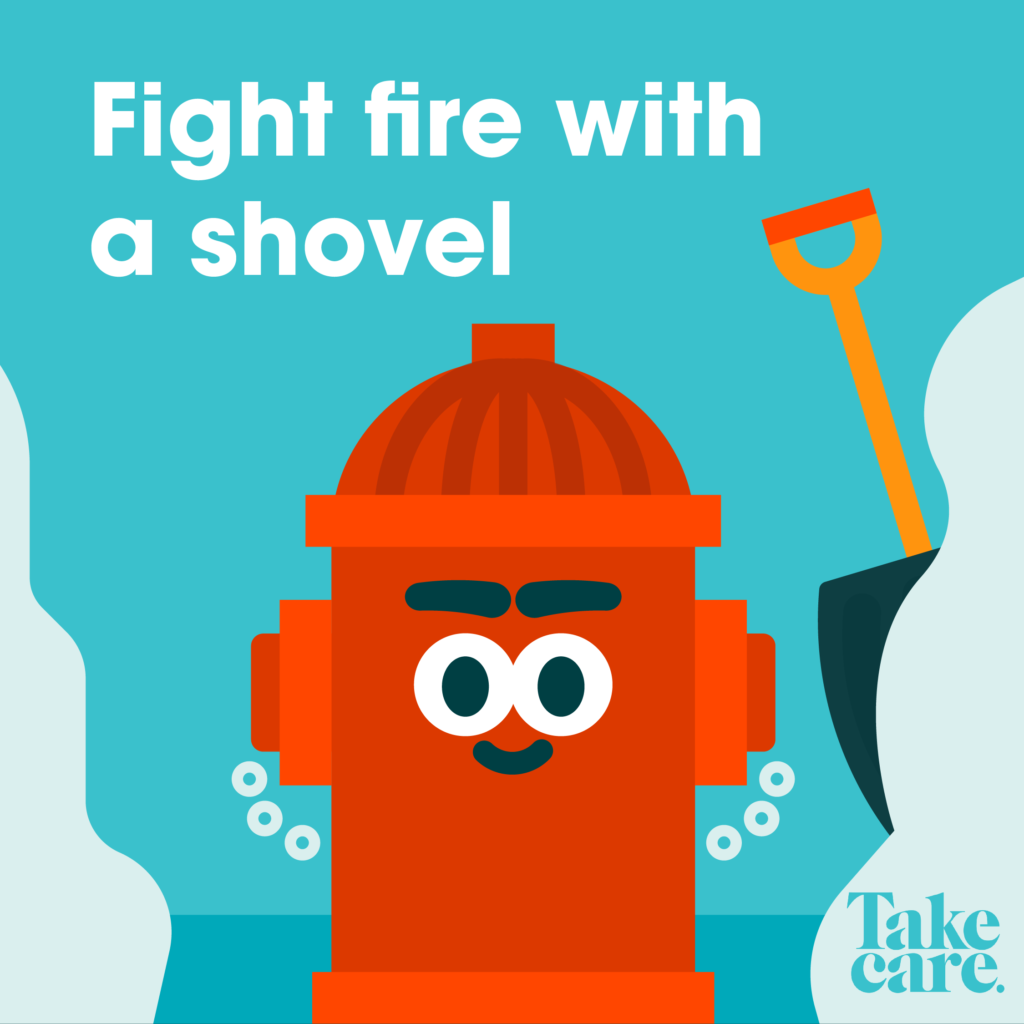
As a parade of winter storms continues to pummel the Tahoe region, Take Care Tahoe and local fire departments are promoting a campaign to encourage community members to keep fire hydrants clear of snow and debris in an effort to help fire personnel should an emergency occur.
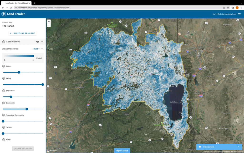
With over 4,000 fire hydrants in the Tahoe Basin, Take Care Tahoe asks community members to Adopt-A-Hydrant in their neighborhood by clearing a three foot radius on every side of the hydrant and to the road’s edge every time it snows.
Every year, wood stoves and fireplaces cause 54,000 structure fires across the country. During the winter months, the North Lake Tahoe Fire Protection District has reported they typically see an increase in household fires due to improper use of fireplaces and wood burning stoves, overdue maintenance, and animal nesting.
“As roads are cleared during and after winter storms, fire hydrants unintentionally get covered with snow,” said North Tahoe Fire Protection District Fire Marshal John James. “Between emergency responses, Fire District personnel work on clearing fire hydrants, but because of the increase in call volume that typically occurs during storm events, we need help with this effort. Community members willing to adopt the hydrant closest to their home or business and keep it clear of snow and debris are ultimately helping to keep our community safer.”
If the closest hydrant is buried or community members don’t know where it is, contact the nearest Fire District for GPS locations.
Find your local fire district and learn more about the Adopt-A-Hydrant program at takecaretahoe.org.